This route from the Atlantic Ocean to the Gulf of Mexico is app. 250 miles. There is not a single trail with this name, but the route consists of several individual trails, each of which has its own name and the C2C uses all or just parts of it. I publish a guide about the bike trails in the East, many of them are part of the C2C.
http://www.bikingflorida.mobilunterwegs.eu/
Since so many people are constantly asking about this route and complete and current information is not so easy to find (I checked the internet for weeks) I decided to write a second book for Central Florida – West including navigation for the C2C. And yes, there is already a book about the C2C from Nanci Adler, I bought it, but was not impressed. It is just not what I need. I want precise information about navigation, what I didn’t find there, but it is a good book for sightseeing, if you are interested in your surroundings.
For this challenge it was necessary to go on a trip to the West. I know that the average C2C rider loads his bike with overnight luggage, even a tent, and off he goes. Other people like the comfort of an organized group, where the luggage is transported to each overnight accommodation.
I decided to do it my way. The East I didn’t have to explore, since I know all the trails and they are already in my book. But I had to explore the gaps. The Orange County gap I could check on an earlier trip to Lake Apopka, so this tour started in Groveland.
Groveland – Brooksville Gap
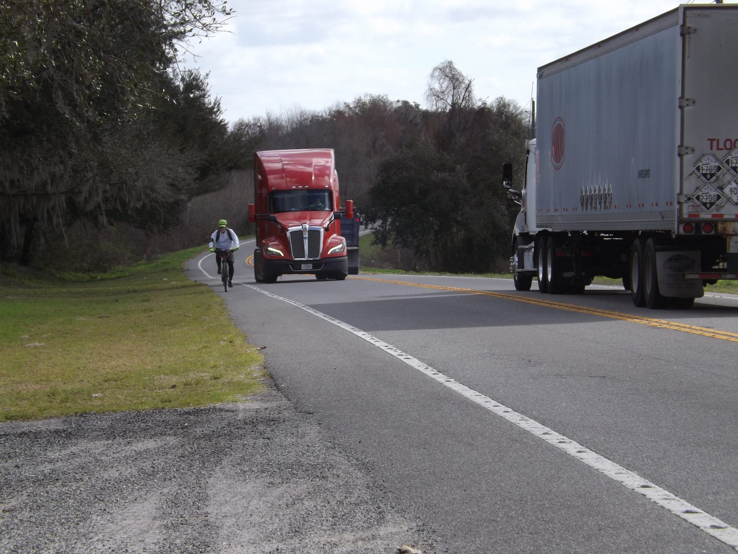
The biggest challenge is the gap between Groveland and Ridge Manor. In the internet I found https://ridewithgps.com/, where several riders tracked their alternative routes north and south of the direct SR 50. Since I didn’t sign up to this app I couldn’t use it. To find these routes is extremely difficult, they use little rural roads and you always have to turn right or left. The southern route through Green Swamp might be really nice, but not easy to navigate, more easy to get lost, and a part is not paved with even some sandy stretch.
I decided to check out the direct route along SR 50, and I decided to do this with my car because of security concerns. There is construction in progress, and I would say, maybe a year from now, this will be the perfect and shortest connection, of course not the most beautiful along a busy road and so in my book I’ll just talk about this connection. Maybe the best day to take this adventure is Sunday morning, with less traffic.
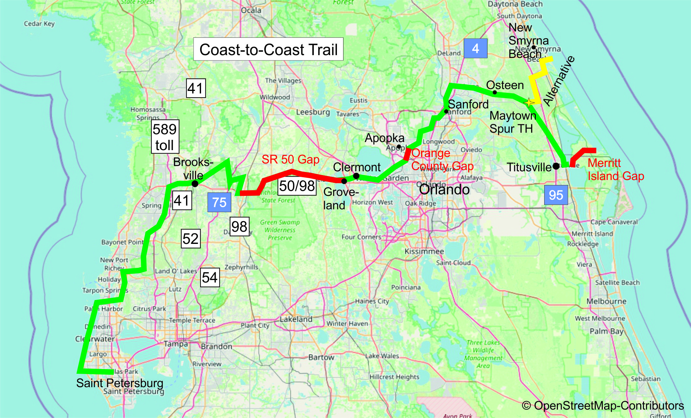
I had a nice encounter there. Just a couple of miles into the gap I saw a lonely rider on the narrow shoulder, intimidated by the many heavy trucks passing him. I stopped, we talked, and I did load his bike on my rack and deposited him to Ridge Manor Trailhead. He was thankful. But hopefully soon every rider can take this trail safely along SR 50, from Ridge Manor on it is already done.
I stayed overnight in East Brooksville near the Ridge Manor Trailhead because I knew the hotel Days Inn already from a former trip, and could check out the construction of the new trail connecting the Good Neighbor to SR 50.
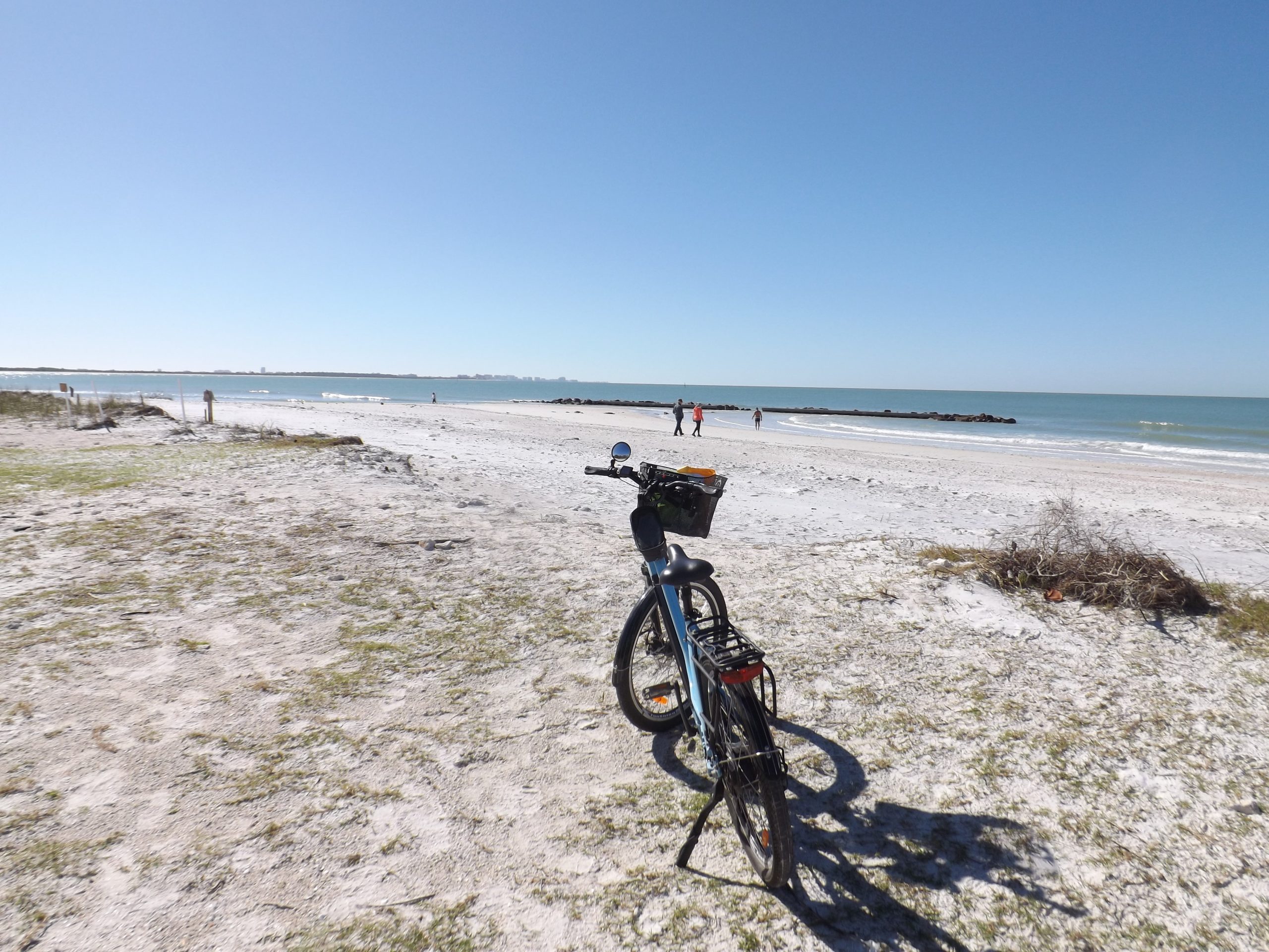
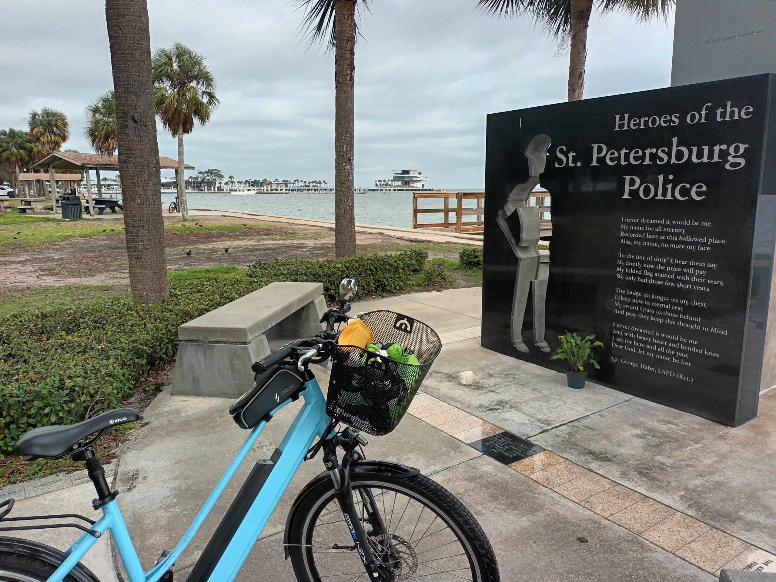
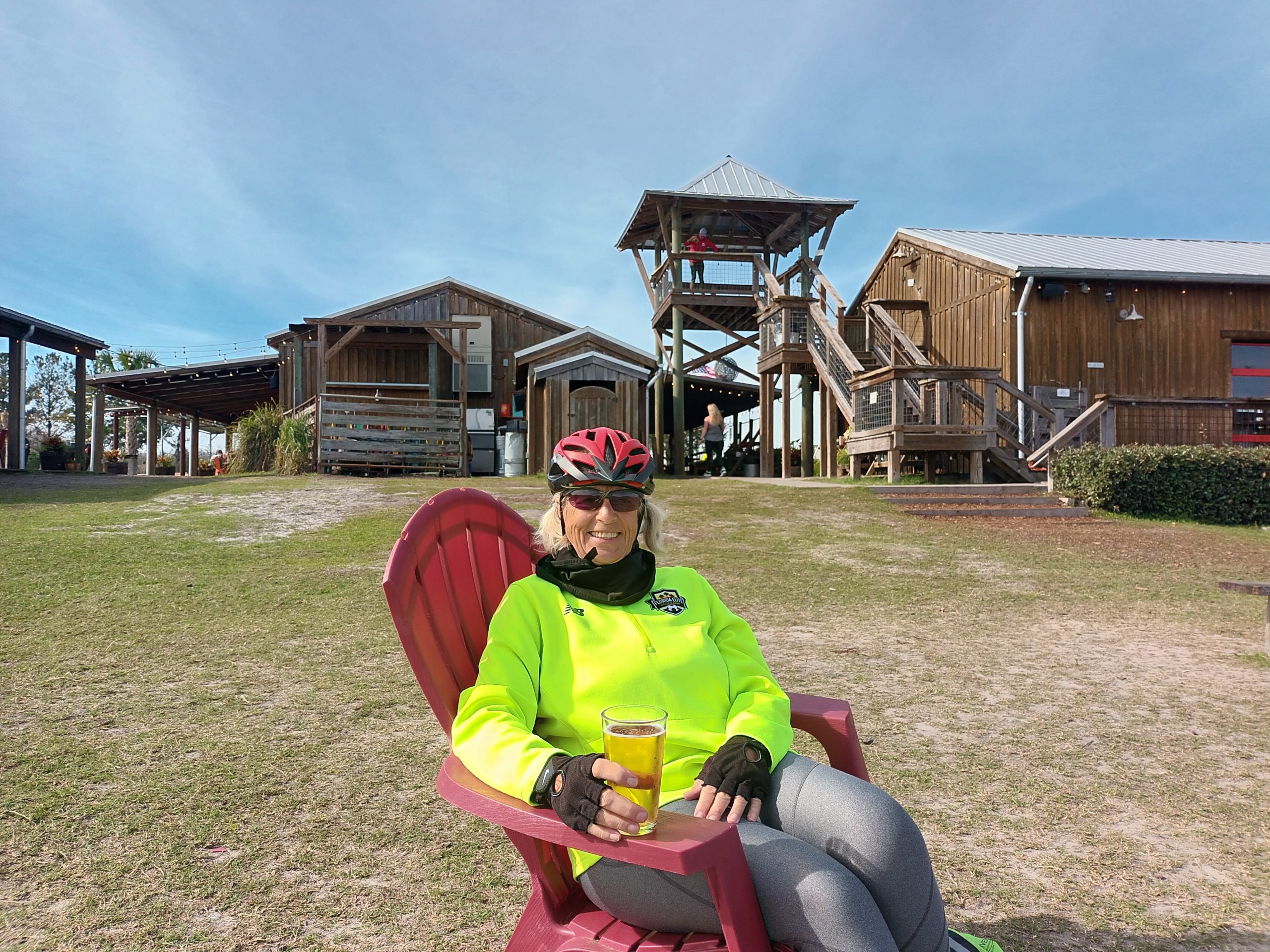
My way to check out the trails is, that I look for several place to stay overnight close to the trails and park my car there, so my next night was near Lutz Lake Fern Rd. It was not very close, but sometimes it is just not easy to find something close to a trail. Hotels mostly never, AirBnB is the better choice. First day I checked out the Starkey trails, always have to ride it back and forth, next day Pinellas north, then I moved car with luggage to Largo. This time I had a much better location, the Pinellas was just a few feet away. So I could stay there 4 nights and ride all the trails in the area, I need for my book. The weather was not perfect, for Sunday thunderstorms were in the forecast, but after lunch it dried out a little and I wanted to see how far I could go without getting blown away or soaked. It was 21 miles to Demens Landing, and of course 21 miles back. And I made it! With this stage I had finished checking out the C2C, but fortunately I had a few more days to explore more trails in this beautiful area.
Now I’m back home and tied to my computer, because I want to finish this book as soon as possible. The print version is hopefully done before I go back to Germany in April, but later this month the e-Book with detailed description of the C2C and the trails in the West will be ready to order from my website:
http://www.bikingflorida.mobilunterwegs.eu/
![]()